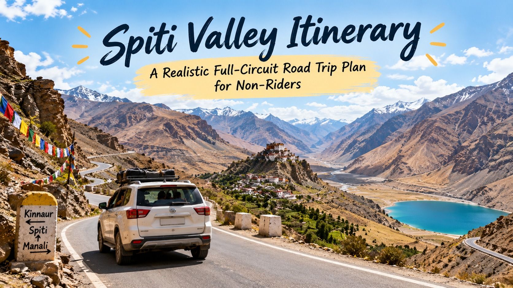
A realistic 9-day Spiti Valley circuit for travellers going by car, not bike — which side to enter from, a day-by-day plan, the road realities nobody puts in the brochure, and when to go.
In this article
- Pick your direction: Shimla in, Manali out
- A realistic 9-day circuit
- The road realities nobody puts in the brochure
- Best time to attempt the full circuit
- Acclimatisation, taken seriously
- If you'd rather have the driving and permits handled
- Frequently asked questions
- Should I enter Spiti from Shimla or Manali?
- How many days do I need for the full Spiti circuit?
- Is the Spiti Valley circuit safe for a regular car?
- Do Indians need a permit to visit Spiti Valley?
- When does the full Spiti circuit open each year?
- Can I do Spiti Valley without riding a motorcycle?
Almost every Spiti photo you've seen online was taken by someone on a motorcycle, which can make it feel like the valley isn't really for you if you'd rather sit in a car or a shared tempo traveller. It absolutely is. Most of the people we've moved through Spiti over the years have gone by road in a group vehicle, not on two wheels — and honestly, a car gives you a warmer, drier, more forgiving way to do a trip that punishes underprepared riders. This is the itinerary we'd actually hand a first-timer doing it by road.
Pick your direction: Shimla in, Manali out
The single biggest decision in this trip isn't which villages to see — it's which side you enter from. Come in via Shimla and Kinnaur, and you climb gradually: Shimla sits at about 2,200m, Kalpa and the Kinnaur villages take you up in stages, and by the time you reach Kaza at roughly 3,650m your body has had four or five days to adjust. Come in via Manali and the Kunzum La side, and you're thrown from Manali's 2,050m to a 4,590m pass within a day or two — a much harsher jump that catches a lot of first-timers with headaches and nausea they mistake for tiredness.
So: enter from Shimla, exit through Manali. You get the acclimatisation benefit on the way in, and by the time you're descending the rougher Gramphu-Manali stretch at the end, you're already adjusted and just dealing with bad road, not bad road and altitude sickness together.
A realistic 9-day circuit
This isn't the tightest itinerary you'll find online, and that's deliberate — Spiti punishes rushing more than almost anywhere else we run trips.
- Day 1-2: Shimla to Sangla/Kalpa. Long first driving day, but a gentle altitude gain to around 2,700m. Use the second day to actually rest, not just sleep.
- Day 3: Kalpa to Nako. This is also where you'll typically sort out ID checks near the Kinnaur-Spiti border; carry photo ID for everyone in the vehicle.
- Day 4: Nako to Tabo. Tabo's thousand-year-old monastery, founded in 996 AD, is worth a proper stop, not a drive-by.
- Day 5-6: Tabo to Kaza, with a Kaza base. Use Kaza as a hub for day trips to Langza, Komic and Hikkim, and Dhankar if you have the extra half-day. This is also where you should build in a genuine rest day if anyone in the group is feeling the altitude.
- Day 7: Kaza to Chandratal via Kunzum La. The pass sits at 4,590m, around 75km from Kaza; Chandratal itself lies a further 2-hour walk (or a rough 14km jeep track) off the main road. This is the most dramatic driving day of the trip and also the one where a support vehicle and an experienced driver matter most.
- Day 8: Chandratal to Manali via Gramphu. The roughest stretch of the entire circuit — expect water crossings, sections that are more riverbed than road, and 8-10 hours to cover barely 120km.
- Day 9: Recovery day in Manali. Don't schedule a flight out the same evening. Give the trip room to end properly.
The road realities nobody puts in the brochure
The Shimla-Kinnaur side is generally well-maintained but narrow and heavy with trucks — it's the safer half of the trip precisely because it's boring. The trouble starts on the Manali side: the roughly 60km stretch between Gramphu and Lossar is unpaved, cut by glacial melt streams that can be ankle-deep in the morning and thigh-deep by afternoon once the sun's been on the ice all day. That's not a scare story, it's why serious operators start that stretch early and never plan to cross it twice in one day. Kunzum La adds loose gravel hairpins above 4,400m with visibility that can drop fast if weather rolls in. None of this is dangerous if you respect it and go slow — it's dangerous if you treat it like a normal hill road.
One genuinely good piece of news: Himachal Tourism's own site confirms Indian citizens need no permit at all to enter Spiti. It's only foreign nationals travelling via the Shimla-Kinnaur route who need an Inner Line Permit, arranged at the permit office in Reckong Peo, because that road runs close to the Tibet border.
Best time to attempt the full circuit
The complete Shimla-to-Manali loop only opens once Kunzum La clears snow, which is typically mid-to-late June, and it closes again by mid-October. Late September is our pick if you can manage it: the water crossings on the Gramphu stretch are at their lowest after a summer of melt, the skies are at their clearest, and the crowds have thinned. July-August brings the most water in those crossings and a real landslide risk on the Kinnaur approach, so build slack into your schedule if you're travelling then.
Acclimatisation, taken seriously
Spiti's villages sit at altitudes where altitude sickness is a real, not theoretical, risk — Kaza is close to 3,650m and the Langza-Komic-Hikkim cluster sits above 4,400m. Spread the climb over the first four days rather than rushing to Kaza, drink more water than feels necessary, and treat a headache that painkillers don't touch as a sign to stop climbing, not push on. If you're doing this in your own car rather than with a group, ask your doctor about acetazolamide in advance and carry a pulse oximeter — a reading in the mid-80s at 4,500m is normal, but you should know what normal looks like before you're relying on your own judgement at altitude.
If you'd rather have the driving and permits handled
If nine days of self-driving through some of the roughest and most spectacular roads in India sounds like more logistics than holiday, our Spiti Valley bike trip and Spiti Valley winter departure both run this same broad circuit with the vehicles, permits and pacing sorted for you. You can see the full range of upcoming departures on our trips page.
Frequently asked questions
Should I enter Spiti from Shimla or Manali?
Enter from Shimla and exit via Manali. The Shimla-Kinnaur side climbs gradually, letting you acclimatise before reaching Kaza, while the Manali side is a much steeper, harsher jump in altitude.
How many days do I need for the full Spiti circuit?
Nine days is a realistic minimum for a non-rushed circuit by car. Fewer than that and you'll spend most of your trip driving rather than actually seeing the valley.
Is the Spiti Valley circuit safe for a regular car?
The Shimla-Kinnaur side is fine in a normal car in good conditions. The Gramphu-Lossar stretch near Manali involves genuine water crossings and rough, unpaved road, and is best done in a higher-clearance vehicle with an experienced driver.
Do Indians need a permit to visit Spiti Valley?
No. Indian citizens can enter freely. Only foreign nationals travelling via the Shimla-Kinnaur route need an Inner Line Permit, obtained at Reckong Peo.
When does the full Spiti circuit open each year?
Typically mid-to-late June, once snow clears from Kunzum La, through to about mid-October. Late September is often the best window for clear skies and lower water levels on the Manali-side crossings.
Can I do Spiti Valley without riding a motorcycle?
Absolutely — most travellers do this circuit by car, tempo traveller, or as part of an organised road trip, and it's arguably a more comfortable way to see the valley than by bike.
Spiti rewards patience more than any other trip we run. Give it nine unhurried days, respect the road, and it gives back some of the most complete high-altitude scenery in the Himalayas.
Wondrr Team
Travel Curators